As Aaron mentioned last week, the two of us recently undertook a journey around Lake Tahoe on a pair of fully-loaded 27.5+ ECRs. The idea for the trip was birthed from two things really. First, I’d recently found out I was attending SaddleDrive and, considering it was held in one of the most beautiful places in the country (if not the world), I didn’t really want to just fly into Reno and immediately get on a shuttle bus to head to the event. I wanted to get out and explore the Tahoe area and really take my time getting there. The second was that, after doing a number of sub-24 hour overnights, I’d been itching to get out for a longer bikepacking trip. I figured this was the perfect opportunity. After speaking with Aaron at the Surly Sub-2420 ride, I learned he had a similar itch.
Now, prior to planning this trip, I knew very little of the Tahoe area. When I was 16, I first learned how to drive in my mom’s Chevy Tahoe but that was about the extent of my knowledge. I knew that I had a lot of hours of research and route planning ahead of me though, which is something that I truly geek out about. You see friends, when I was just a young Beef, I had big dreams of someday being a travel agent for some odd reason. And, while I ultimately decided on a different career path, my love of travel planning persisted — a trait that lends itself well to planning out cycling and bikepacking routes.
So I set to work and, after many, many hours spent alternating between map layers on RideWithGPS.com, I finally had a route put together that I felt us two novices could probably complete without falling off the side of a mountain. 174 miles with just over 24,000 feet of climbing; We’d given ourselves four days to complete it with an extra day built in as a buffer.
As the time drew near, we put the final touches on our gear set ups, shipped our bikes out to Reno, and anxiously awaited our date of departure.
Day One
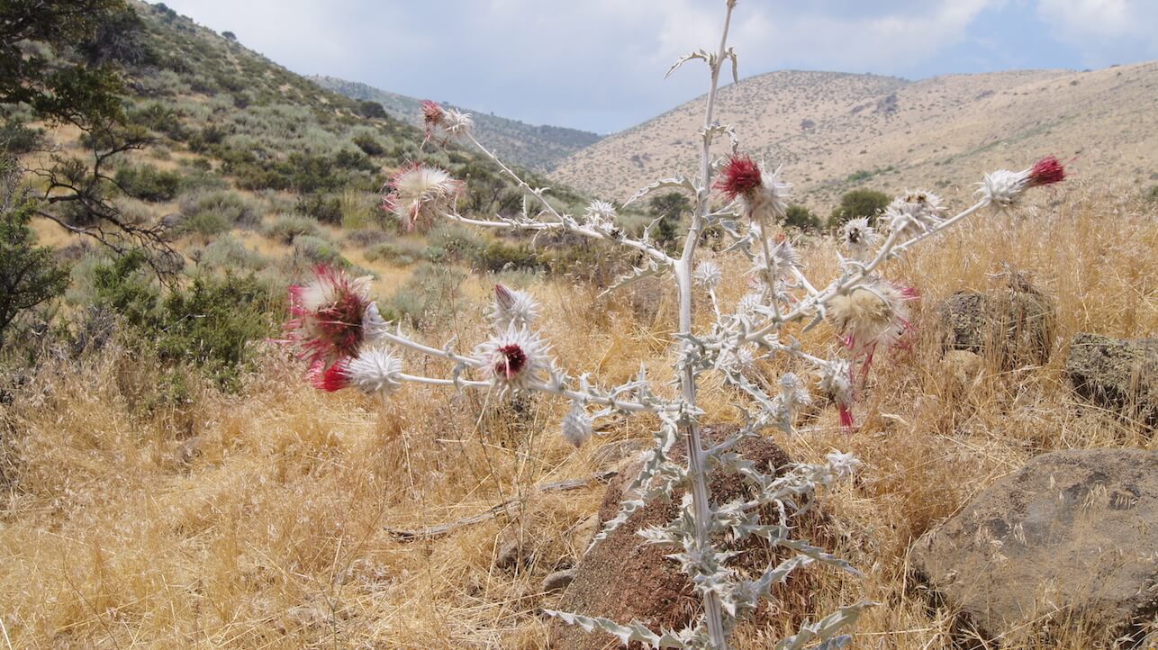
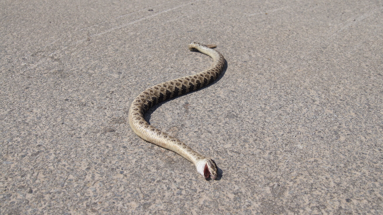
We landed in Reno on a Monday afternoon and, after two hearty casino buffet meals and a decent night’s sleep, began pedaling early Tuesday morning. After a quick grocery stop for a few last-minute supplies, we pointed ourselves towards the fastest way out of town. The first few miles were traveled at a casual pace. It gave us a chance to double check our gear was properly secured and everything was mechanically sound. If anything was going to go wrong, it might as well happen while we were still within the comforts of a city. By the time we’d clocked our first ten miles, we were really hitting our stride. Reno was behind us and the pavement had ended a couple miles back. Our view was a seemingly endless ribbon of desert jeep trails with the snow-covered peak of Mt. Rose coaxing us forward, taunting us for much of the day. We were surrounded by the beauty of the high desert: from the sparse yet stunningly vibrant flora to the deadly (luckily, dead) fauna. If the rest of the trip stayed like this, we were shittin’ in tall cotton.
It didn’t and we weren’t. 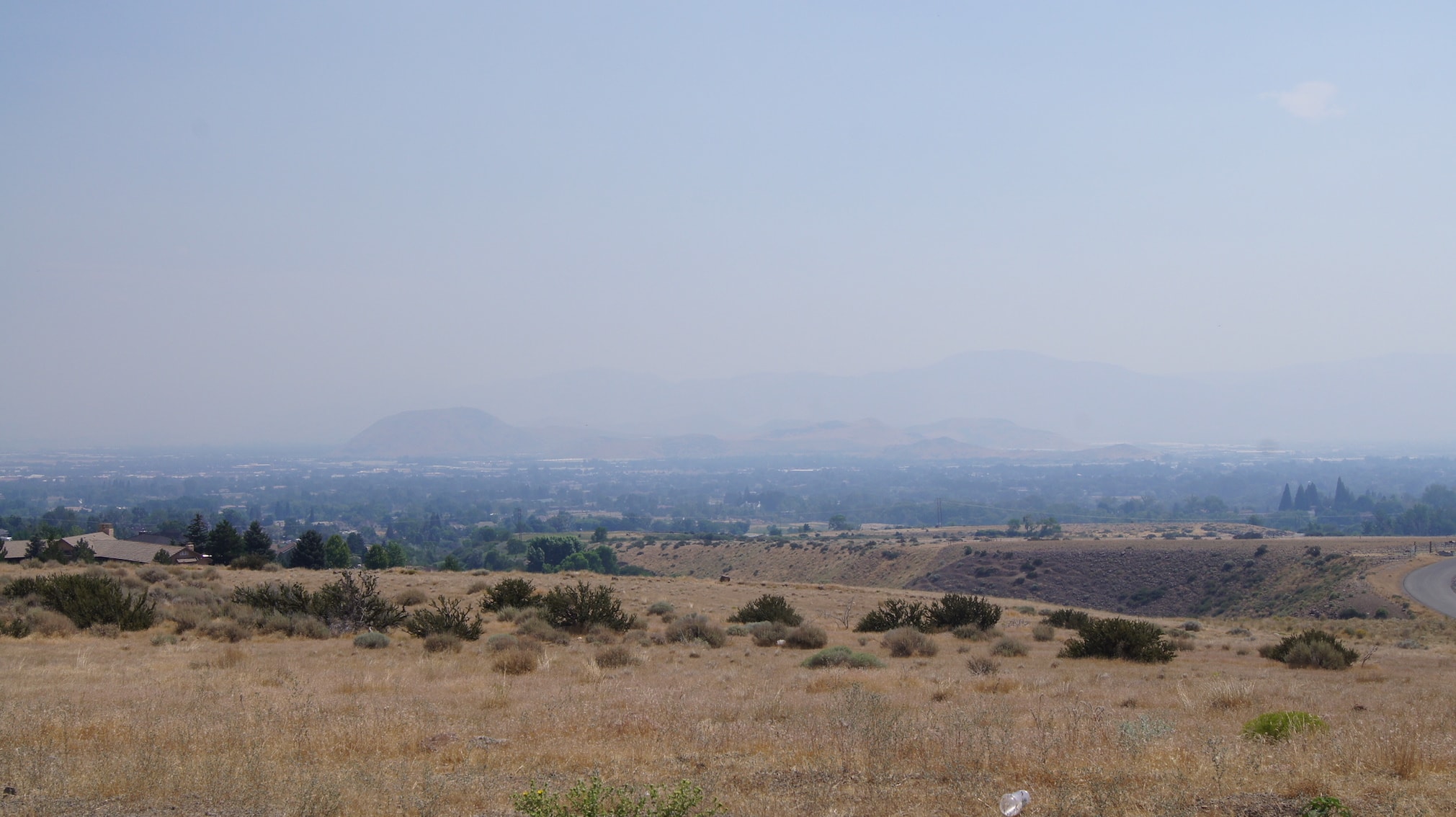
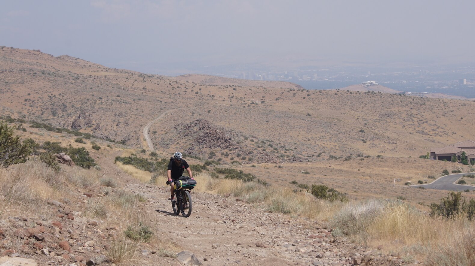

As the trail began to pitch upwards and the dirt loosened up, we were forced off our bikes to begin a series of short hike-a-bike sections. We’d hike for a bit, pedal when we could, and repeat. This continued for a few miles until eventually, we made it to a stream. The mercury was in the 90s that day and we’d already cashed our first few bottles so we took the opportunity to filter a fresh supply of water. The ice-cold stream also provided a brief moment of relief from the heat as we dipped our hands, heads, and bandanas into the stream. 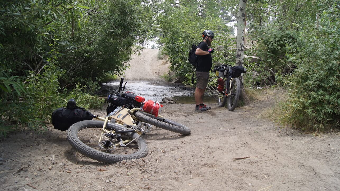
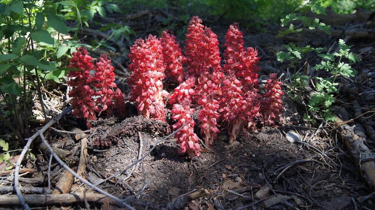
By this point in the day, we’d entered the Humboldt-Toiyabe National Forest and our desert scenery had given way to skyscraper-esque pines with their grapefruit-sized cones coating the ground. At first, we were in awe with how big they were. After realizing that one wrong maneuver over a cone could send us to straight to the forest floor, we were less impressed. The trail continued to climb and eventually broke out into a cavernous valley that gave us our first big vista of the area. We took a short break to catch our breath and take in the view both mentally and photographically, before continuing on to a fast descent. It didn’t last long, but it was a nice change of pace from aiming ourselves upward. 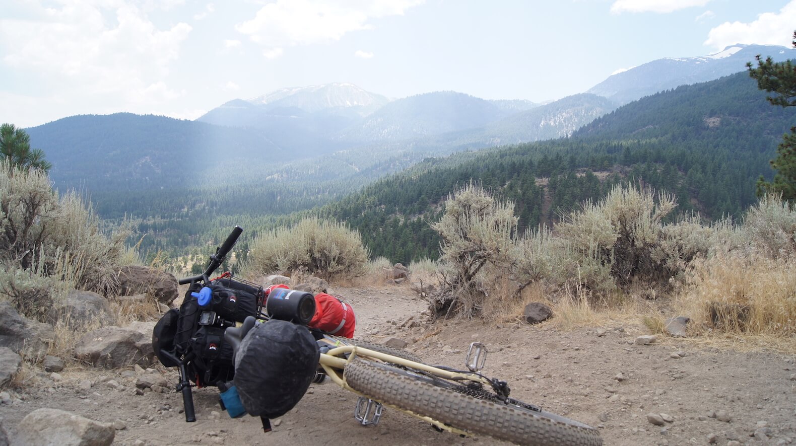
We climbed and climbed, and when we’re done with that, we climbed some more. We weren’t making great time and still had a ways to go if we were going to make our goal of Marlette Peak Campground by nightfall. Our flatlander lungs hadn’t acclimated to the elevation yet and each breath felt like we were inhaling hot, fiery ash. 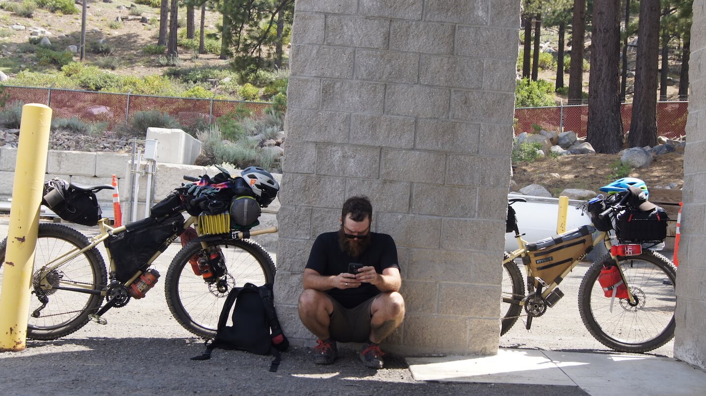
We pressed on, taking breaks when we needed and seeking refuge in whatever shade we could find. We’d made our way out to the deteriorated, forgotten road bed of Old Mt. Rose Highway and, while it provided a safer alternative to the busy road it paralleled, it didn’t offer much in the way of reprieve from the sun. As we were watching our mileage slowly creep up, it quickly became apparent to us that there simply wasn’t going to be enough daylight left to make it to Marlette Peak. Our new goal became to get to the top of the Mt. Rose climb and re-evaluate where we were at. 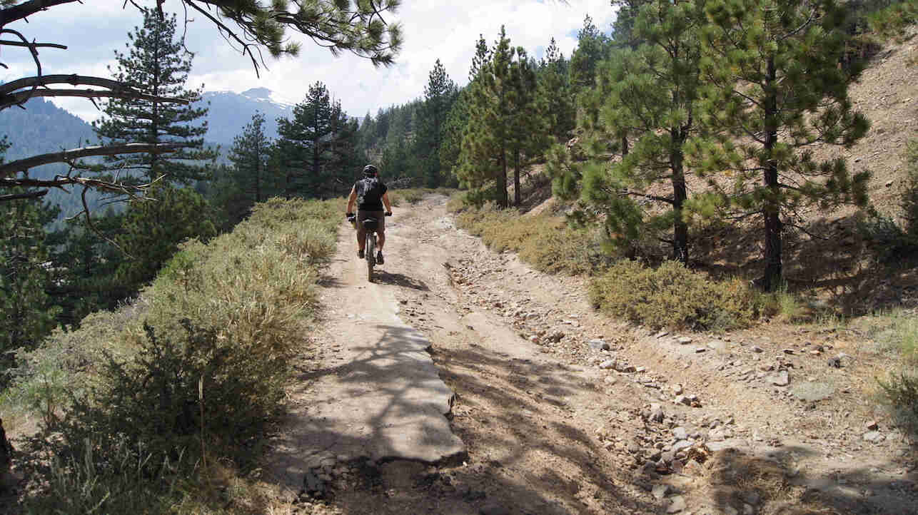
After several more miles on Old Mt. Rose Highway and a couple other incredibly steep dirt roads, we eventually rejoined the current Highway. We traveled about a mile and after a couple close calls with some particularly asshole-ish drivers, we decided to see if there was any way we could get off the highway and back onto something with a little less traffic. There was still a few miles between us and the top and, with a series of tight turns in the road ahead, neither of us felt like continuing on the highway was worth the risk.
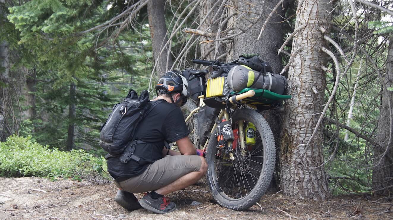
As luck had it, we found ourselves right near a service road for the Mt. Rose ski area. We took a short ride through the woods and found ourselves on a gravel road that would dump us right into the Mt. Rose Campground. It was steep as hell but at least it kept us away from the hurried assholes of the highway. Shortly before we hit the campground, we came across a small stream where we once again stocked up on some fresh water. 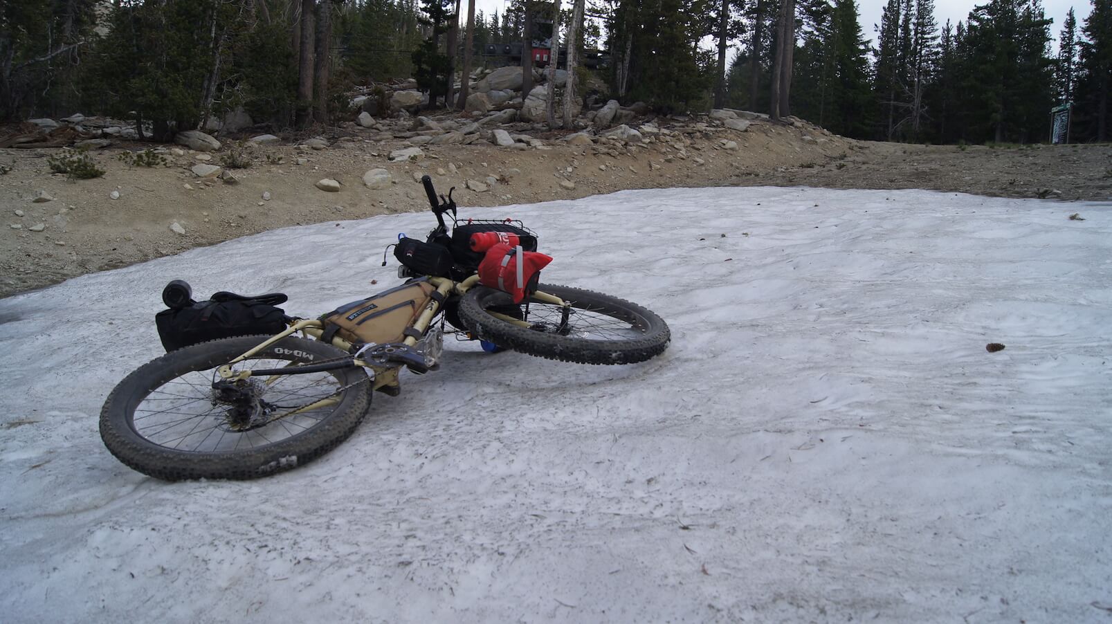 We were in awe seeing snow on July 25.
We continued up the gravel road. It was just about an hour before sundown and we only had about a mile to go to reach the campground. Rather than press on for another hour and set up camp somewhere, we decided to grab a spot at Mt. Rose for the night. After a short climb up the steepest section of gravel road I’ve ever seen, we found ourselves in the campground. We set up camp, ate a dinner of Curried Red Lentil Soup (more on that in a later blog), and called it a night. 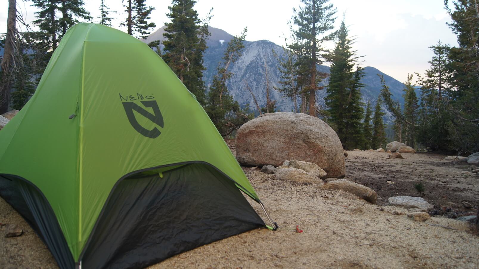
 All told, day one was an extremely challenging 20.6 miles with 4,731 ft of climbing (most of the climbing occurring in about 12 miles.)
Day Two
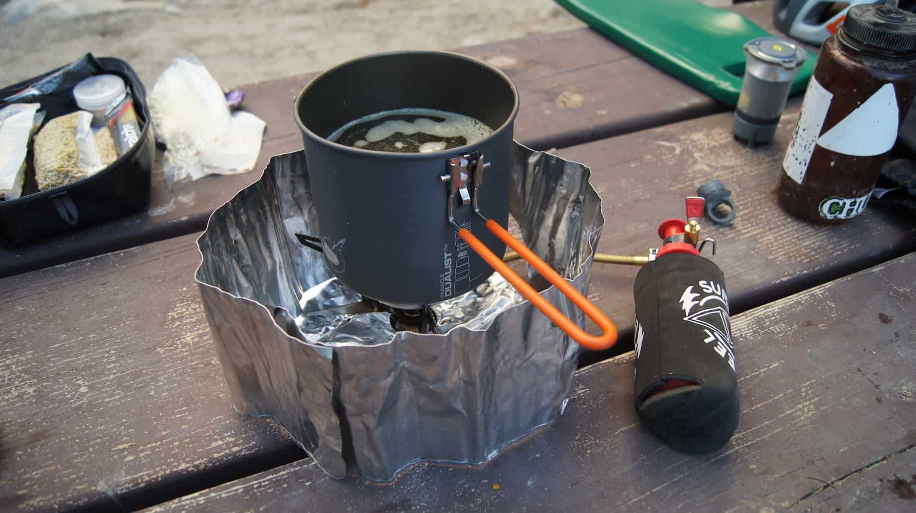
We woke shortly after the sun. Before I even opened my eyes, I was already concerned about how my body would feel given the previous day’s exertion coupled with a night's sleep at 9,000 feet. Miraculously, after a few morning stretches, I felt alright. Aaron did too. After a quick breakfast of instant oatmeal and coffee, we tore down our camp and headed out.
The day’s elevation profile had us hopeful that we could get back on track after our slow start on day one. We were starting with a good chunk of descending and decided to once again set our sights on Marlette Peak Campground — this time for a lunch stop rather than a camp spot. 
We began with a super-fast paved descent on the Mt. Rose Highway, this time able to hold our own with the speeding cars. From the highway, we hopped on the Tyrolean Downhill, the Winter XC, and the Incline Flume trails before eventually meeting up with the Tahoe Rim Trail (TRT). It was on the Flume trail that we finally got our first view of the lake. We came around a fast corner out into an opening and there it was, stopping us in our tracks. 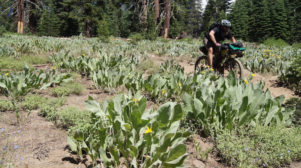
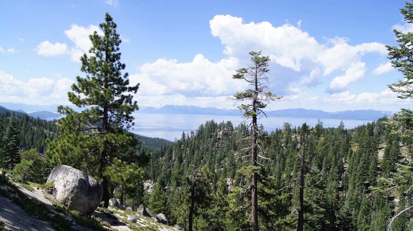 Our first view of Lake Tahoe stopped us in our tracks.
 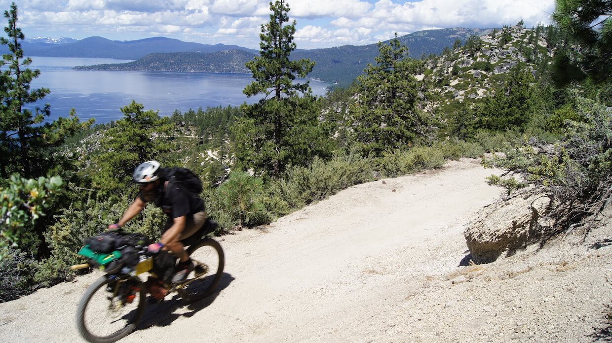 If you're ever presented the opportunity to ride the Incline Flume Trail, take it.
After a quick photo, we carried on. The descending we were doing was slowly raising our spirits and giving us more confidence in achieving our goal. Once we hit the Tahoe Rim Trail, the terrain began undulating up and down. None of the climbs were anything too treacherous and were by far easier to handle than some of the previous day’s. While we were taking a breather about halfway up a climb, we heard the whir of tires behind us. Two mountain bikers emerged from around the corner and stopped to chat with us a bit.
Our fully loaded down ECRs drew a lot of attention everywhere we went (for good reason). Nearly everyone we encountered inevitably had some questions about what we were doing, where were we headed, what kind of gear we were carrying, what was wrong with us. You know, the standard questions people wonder. The two mountain bikers were no exception.
They asked us where we were headed and it’s a really good thing they did. When we told them where our route was taking us, they gave us some pretty good intel on the trail conditions ahead and none of it sounded like anything that would put us back on track to get to Northstar by Friday. They told of snow-covered trails and ultra-steep climbs that would for sure be hike-a-bikes with all the gear we had. Since they seemed to know the area well, we took heed of their advice and decided to make some adjustments to our route for the day. After they rode on, we broke out Google Maps and took a look at how we could cut out the section they were talking about.
It looked pretty straightforward. We’d continue on as planned until we hit the Lincoln Highway. Where our route would tell us to cross and continue on the TRT, we’d hang a right and take the highway along the lake and into Zephyr Cove. The unfortunate thing about this change was that it meant more pavement and less dirt for the day. If we wanted to get back on track and avoid the rumored impassable trails that lay ahead, however, it was looking like our only viable option. 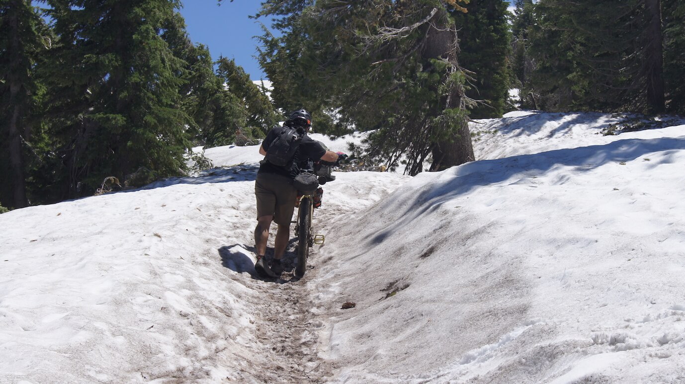 We were less in awe to see snow on July 26.
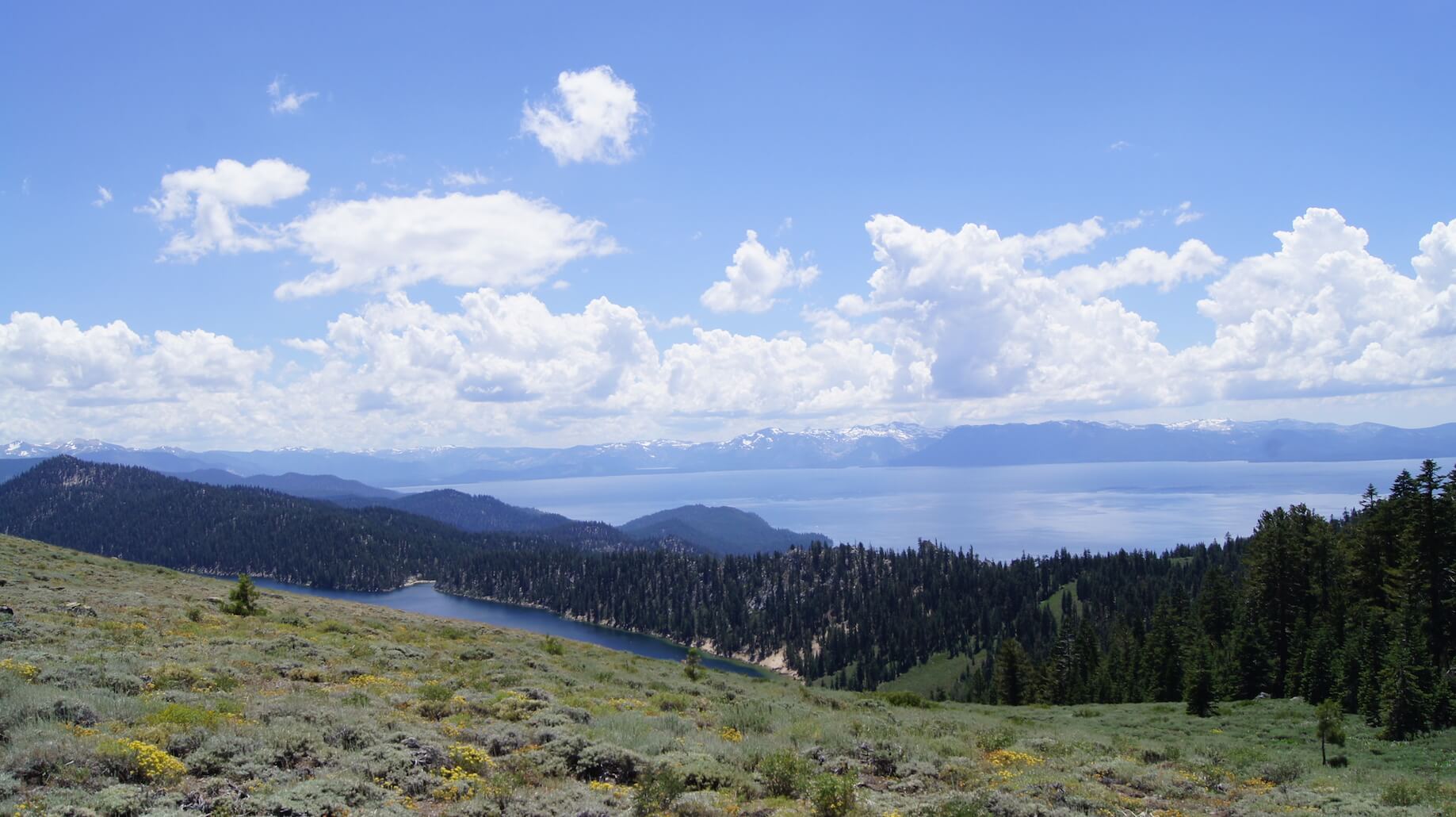
After a bit of snowy hike-a-bike and some of the best dirt descending of the entire trip, we finally hit the Lincoln Highway and took our right turn. We ripped down the pavement and into Zephyr Cove. The afternoon was beginning to give way to evening and as we were passing through town though, we came across a campground that had a bar and restaurant, showers, and most importantly, VACANCY. We decided to pull off and grab a spot for the night.
We quickly set up camp, and made a mad dash for the shower building — eager to clean the last two days of riding off our bodies and our riding clothes. When we’d both had our turn, we headed for the restaurant to have a hot meal and a cold beer. Now, for all I know, that beer was flat and my burger tasted like shit. In that moment, though, it was the best damn meal I’d ever had. We returned to our campsite and unsuccessfully attempted to build a fire with the wet wood that the campground sold us before calling it a night. 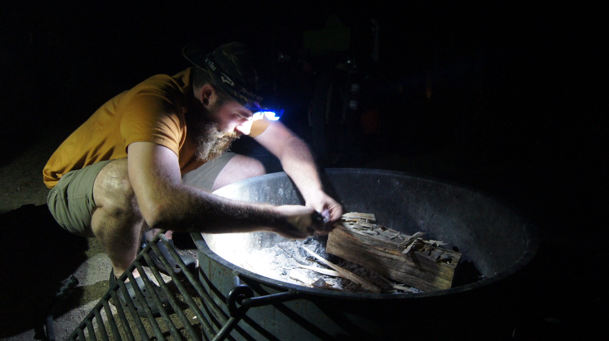
Day two ended with just about 31 miles clocked and 2,615 ft of climbing (5,131 ft of descending!)