This week, we thought we’d give you a brief respite from listening to us ramble and drone on about whatever we’re droning on and rambling about so we asked our friend Elena from The Hub Bike Co-Op in Minneapolis to write a little something about her recent bikepacking trip up to the north woods.
Take it away, Elena!
Straddle and Paddle Route: A Review
I'm ashamed to say that despite growing up in Minnesota, prior to two weeks ago I had never been to the North Shore.
Why not?
Pretty dang good question — I guess I usually answer that I always travel south or west. I also had never really spent any time in Wisconsin until two months ago, but that's a story for another time.
Why do I bring this up and share it with you? Because two weeks ago, my friend Chad and I packed up our bikes and spent 5 days biking dusty gravel and dirt roads through the Superior National Forest. Since then I've spent a lot of time trying to figure out how I could have spent the past 25 years NOT going up there any chance I could get.
I MEAN LOOK AT IT 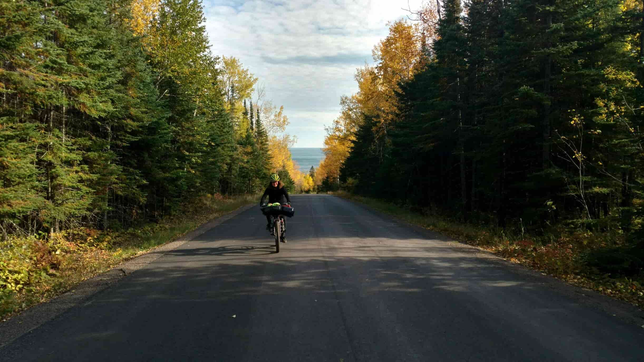
How did I finally decide to wake up to what I was missing out on and head up there?
THAT'S the story I'm telling here today.
Some background on me:
- My name is Elena, and I'm pretty stoked on all bikes steel and real.
- I reside in the Twin Cities and have been working on and with bikes for quite some time, both as a courier and as a mechanic.
- I am very impulsive and not much of a planner, which shows up very often in my bikepacking adventures, as you'll see.
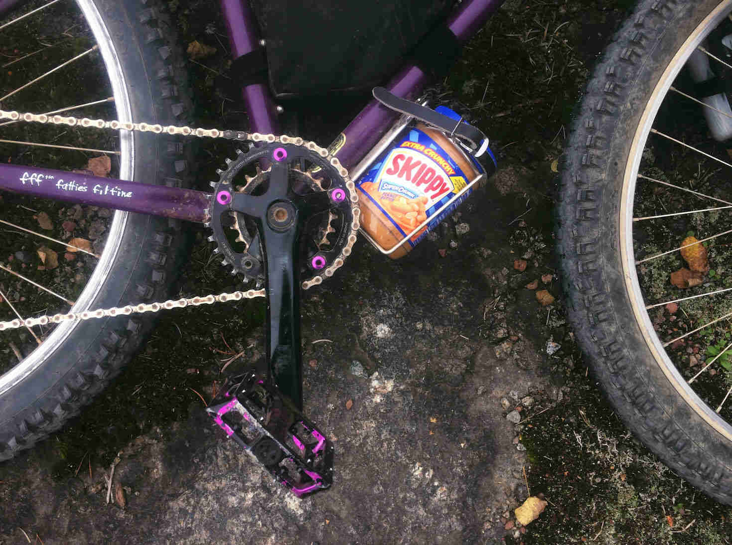
- My favorite food is peanut butter.
Recently, I, along with Chad, a coworker and friend of mine, completed a pretty rad lil' bikepacking trip up north called the Straddle and Paddle.
Both Chad and I are the types of people that spend hours scrolling touring and bikepacking websites and Instagram feeds, daydreaming of gear and locations of future trips. We come from different backgrounds but have similar amounts of wanderlust. Chad has completed very lengthy tours across the country on his Surly Disc Trucker, while I have completed shorter overnighters with the exception of my daring and impulsive attempt at the Baja Divide on my Surly Troll (ask me about that sometime over a beer and a campfire).
Needless to say, it had been too long for both of us since our last adventures and we were both itching to get back on the road.
We found this route while working a slow shift at the ol' West Bank Hub Bike Co-op and instantly knew we were going to do this trip. We also knew that we'd have to do it soon since the window for a snow-free trip to the top of the state of Minnesota was closing fast.
So, about two weeks after we got the idea in our heads, we found ourselves piling into Chad's car with our bikes and hitting the road to the great North.
Now I should let you know, that while we had read the description of the route on the website, and had the general big picture idea of what we were doing, neither one of us REALLY knew. We were giving ourselves five days to complete 180 miles of dirt and gravel, with our drive there and back included in that five days. Neither of us had been up North before. What we did know was: we were heckin' stoked to be riding our bikes, getting to shred dirt, and being up in the woods.
We parked Chad's car in a 24-hour lot right by the Temperance River State Park and just a mile or so into Superior National Forest. We had already been stunned in to silence on the drive in. An unexpected (to us) benefit of heading up north the first week of October?
Fall colors. I mean, WHOA. 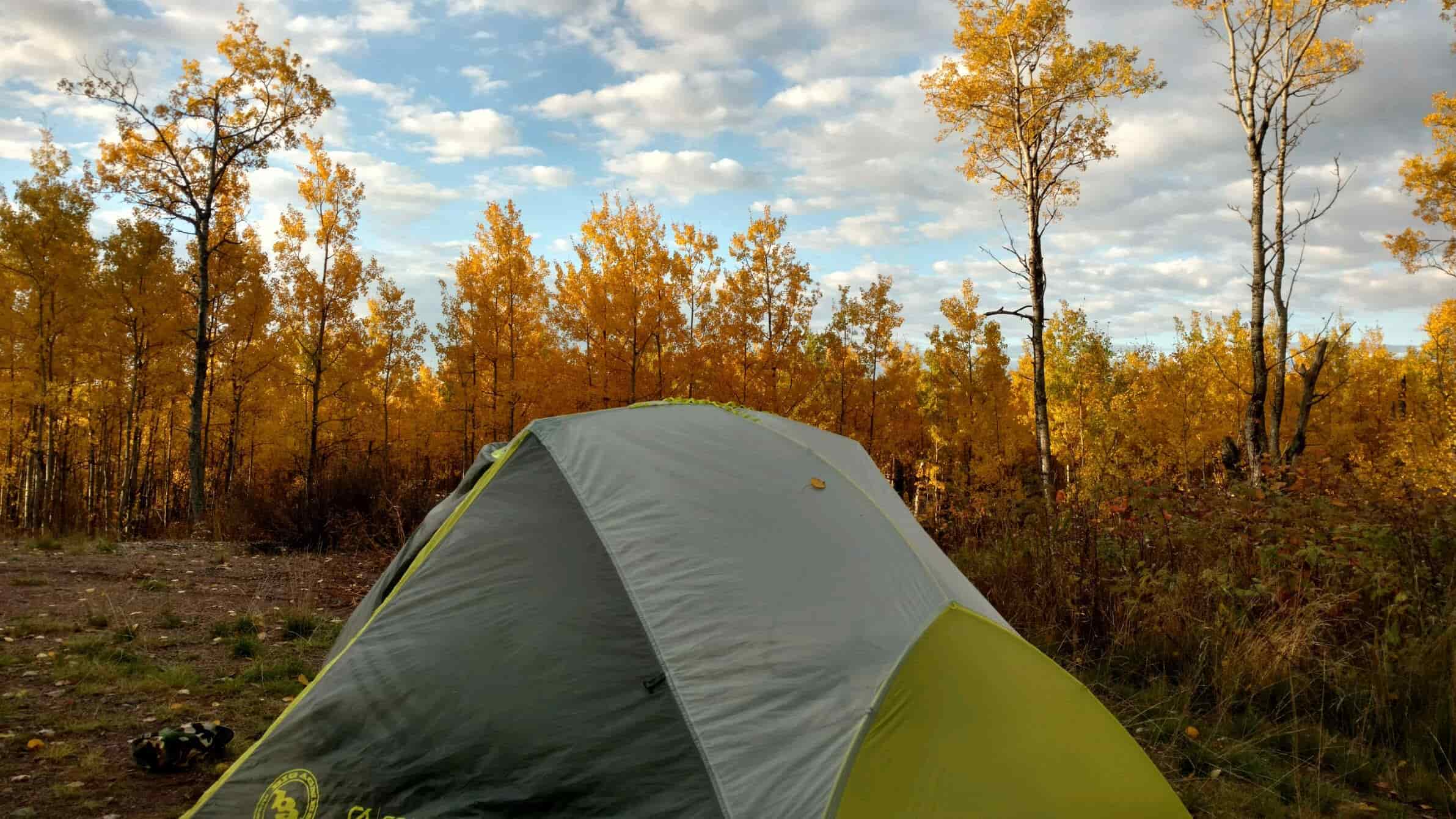
At the sight of all of this, and also just being so dang close to starting, I could feel the start of the butterflies in my stomach. I began to remember how hard, and long, and often treacherous my previous tour had been. I began to remember that I had never toured without my partner before. How would Chad know when I needed to be fed?!?!? When I needed a bathroom break?!?! My favorite turn-that-frown-upside-down pep-song on climbs?! My deep love of Kelly Clarkson?!?! AND WHAT ABOUT MICHELLE BRANCH?
Chad was rather oblivious to the near panic setting in. I tried to play it cool.
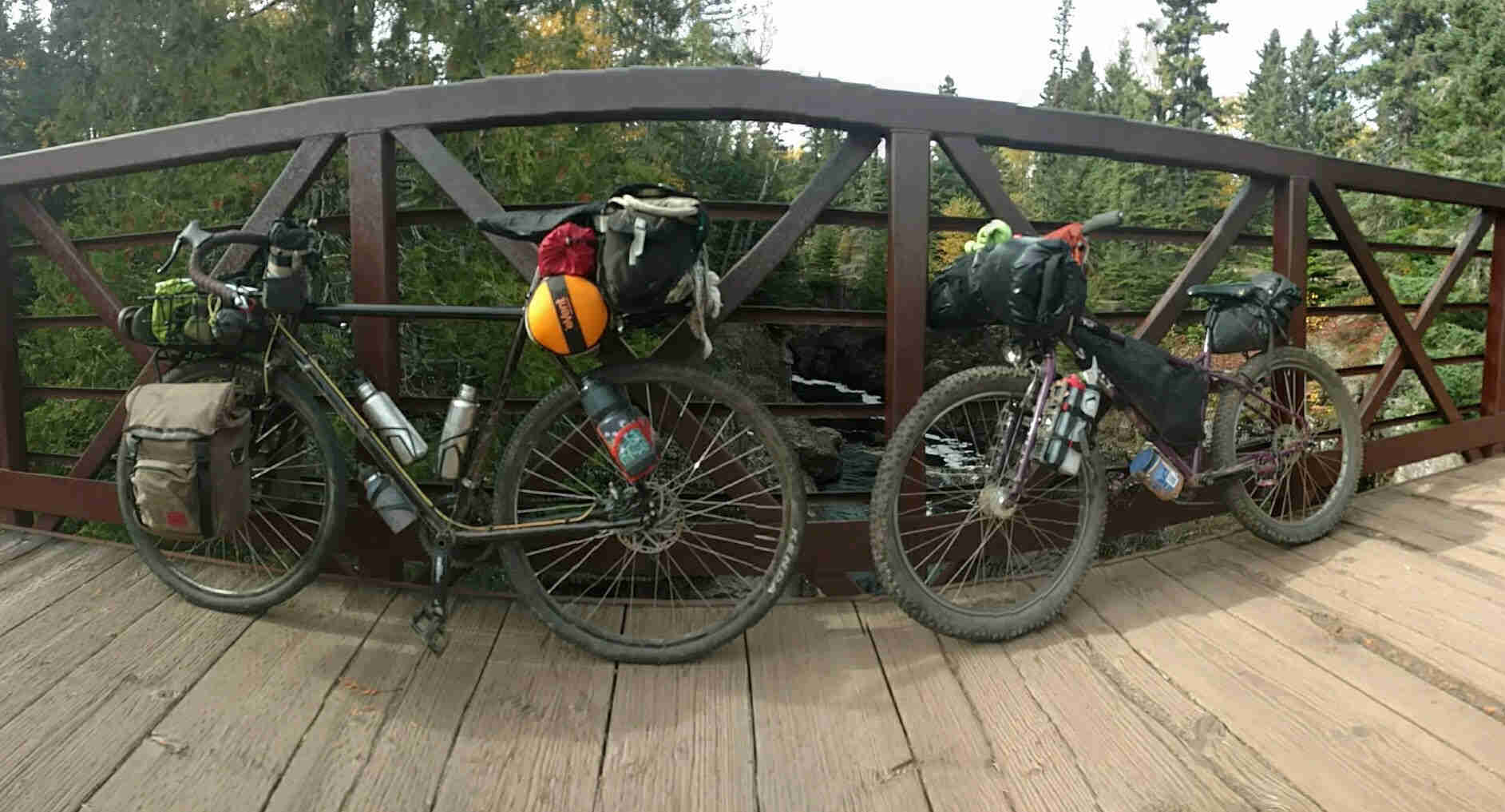
We quickly loaded our bikes up with our gear and food. I continued to play it cool.
As I the folded down the last Velcro strap on my gear and reached for my helmet, Chad wheeled his bike over to me. I looked up.
He smiled and said, "hey, wanna go on a bike ride?"
I smiled back. " Let's do it".
And we rolled out.
We didn't make it very far the first night. We'd spent most of the day driving up, and had only an hour or so of daylight when we left the car. In the kind of miracle that only seems to happen on a bike tour, Chad pulled off the crunchy gravel to investigate what looked like an overgrown path leading away from the road right as the sun was starting to descend. I waited on the road until he called for me to come and check it out. What lay probably only 50 feet from the road was breathtaking. After a small grassy descent was a wide expansive clearing that gave an incredible view of the surrounding forest. Stacks of birch logs were piled high, likely the remains of a small logging expedition. It was pretty perfect. We quickly set up camp, and made a fire and feasted on campfire stove ramen and shared a bottle of cheap whiskey before retiring to our tents and turning in for the night.
The next morning, I woke up shivering and reassessing my idea of only bringing two down quilts with me rather than a sleeping bag. I unzipped my tent and gasped at the frost that covered everything in sight. We were definitely in the North.
After a fire to warm up my frozen hands and feet followed by far too much oatmeal, we waited a while to see if the morning sun would help our tents dry from the frost. We eventually accepted that we would likely need to stop at some point to try to dry them further and packed up and hit the road again.
Very quickly we hit our first major landmark of the trip: The Trestle Inn. We stopped and used their pump for refilling our water bottles, knowing our next water resupply wouldn't be until we reached the Sawbill Campground. We poked around and I felt sad that we didn't have the opportunity to go in and have a beer. If the giant empty liter of Fireball on their porch was any indication, this place was almost certainly a hoot. Instead, we begrudgingly hopped back on our bikes and pedaled on. 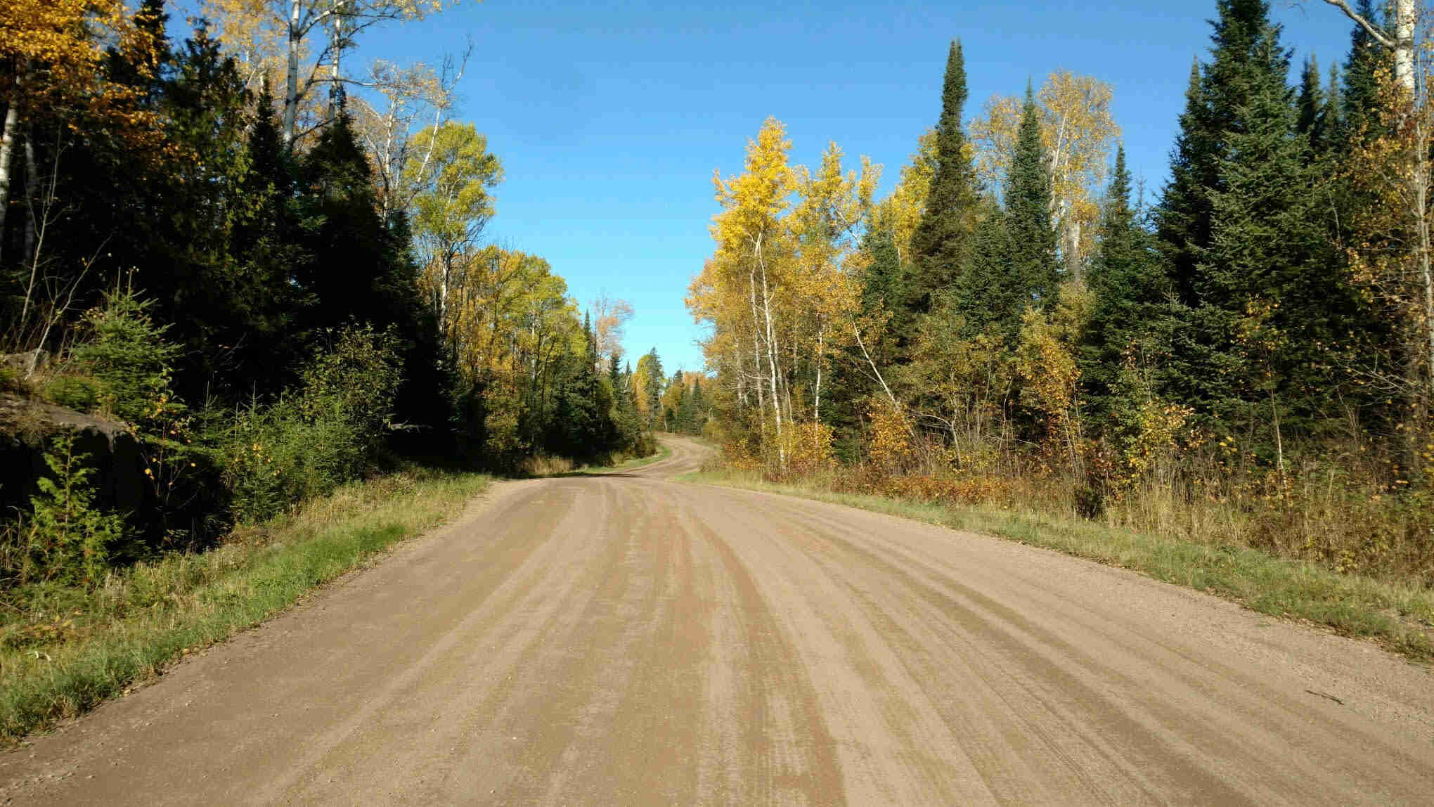
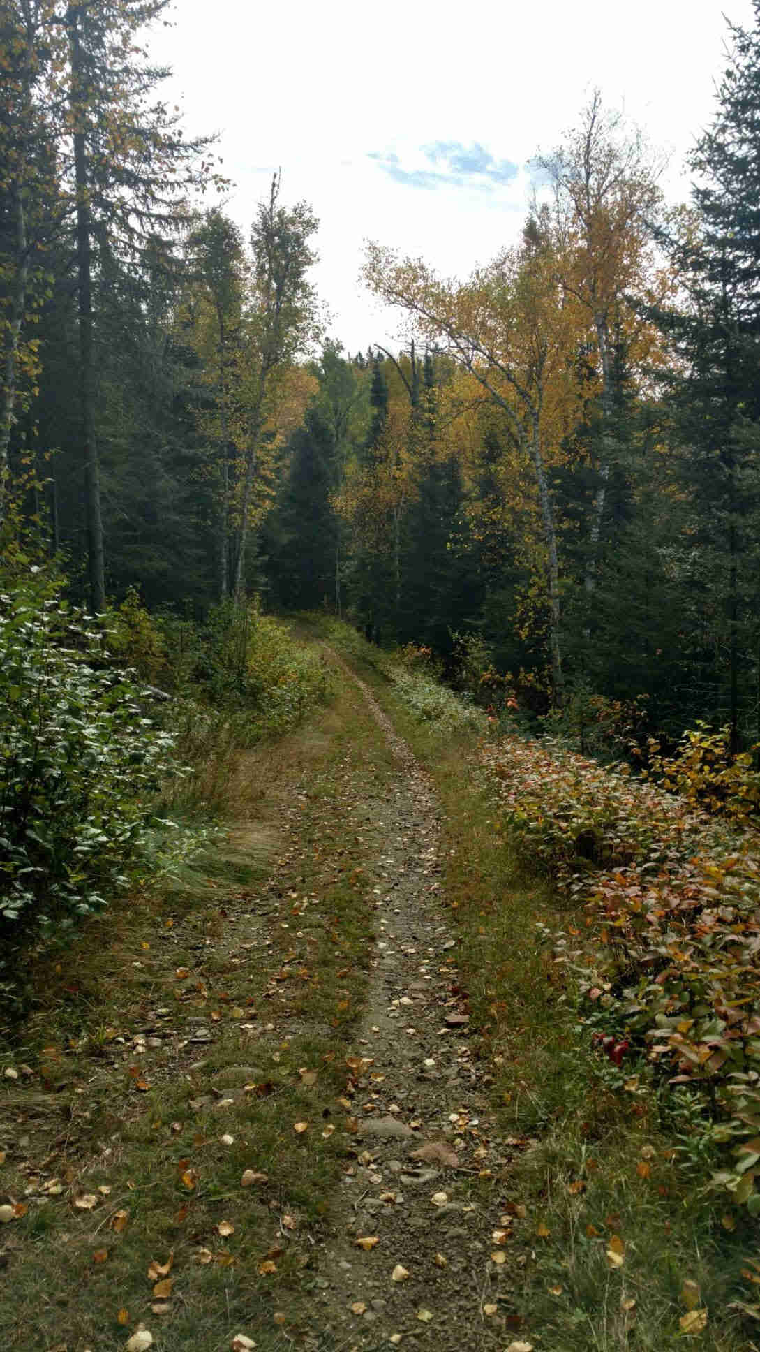
The gravel roads on this route are hard to describe, primarily because it's difficult to put into words the majestic beauty of dusty, smooth, gravel service roads surrounded by birch trees mixed with the changing fall colors creating a pop of yellow, orange, red and gold. We took many photos, and I'll share them here with the caveat that both Chad and I have agreed that while it was hard to take a bad photo, none do the Superior National Forest justice.
That night we made it to the Sawbill Campgrounds, where I was stoked to discover there was a supply store. We purchased a few beers; I bought food and an emergency blanket and made it about ten feet before I dove in to and devoured hummus, jerky, and crackers on the conveniently located picnic table. During this snack break, we also looked at the paper map of the Superior National Forest that Chad had bought on our drive up north. Neither of us was using any kind of GPS device for this trip, instead relying only on this map and screenshots of the RidewithGPS route on our phones. We had been relieved to see that so far, all of the roads had been clearly marked with signage. 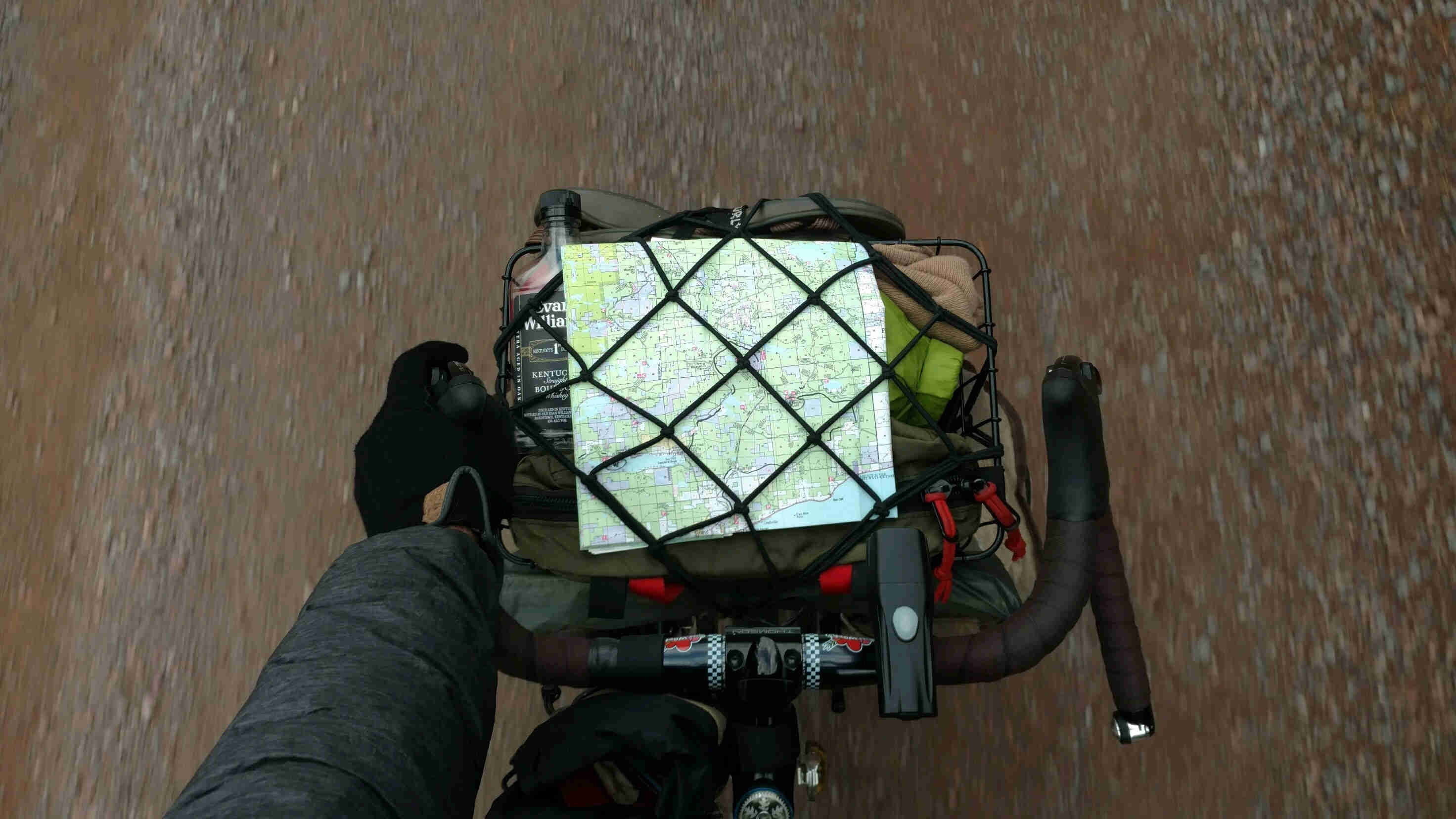
As we looked at the map, we were excited to see that we were about 70 miles into the route and on track with our timeline for this trip. We made note of the next water resupply point (Devil's Track Campground, about 33 miles away) and made a goal of reaching a free campground about 16 miles from there. We were a little nervous, as the forecast for the next day was grim - rainy and low fifties all day. Neither one of us had packed for rain. Despite this, we knew we would just have to do it. There was a lot of nervous laughter, some dark jokes exchanged to hide the fear and considerable whiskey drinking to fortify our minds.
We packed up the map and proceeded to enjoy the gorgeous sunset over the lake. After pitching our tents, we enjoyed some further whiskey drinking around over the fire before tucking in for the night. This time sleep came quickly due to a combination of the magical warming powers of the emergency blanket I had bought in the resupply store and the satisfied exhaustion of a long day on the road.
The next morning, I woke up to Chad yelling at my tent "ELENA. It's NOT RAINING. THE FORECAST CHANGED. ELENA. NO RAIN!!!!"
I squealed, wiped the sleep from my eyes, and jumped out of the tent. After our mutual screams of excitement, we packed up camp and went to the resupply store to purchase a few last-minute things. I also hung out with the super cool campground dog, Huckleberry. Just LOOK AT THIS COOL DOG: 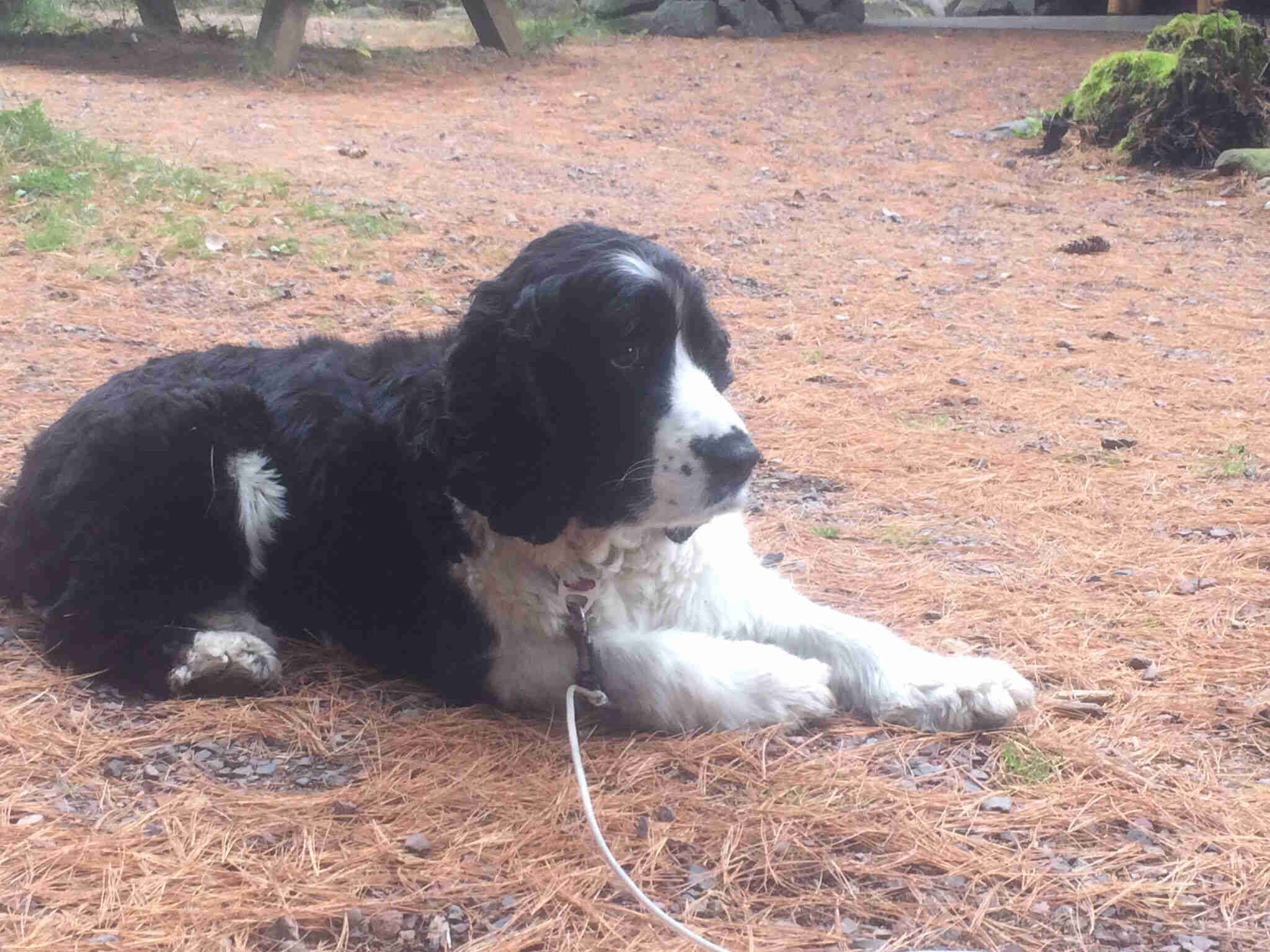
With excited spirits, we left Sawbill and charged forward towards Devil's Track.
On our way there, we proceeded to discover what the single dotted route lines on our paper map meant:
Dirt. Double track. Mountain biking.
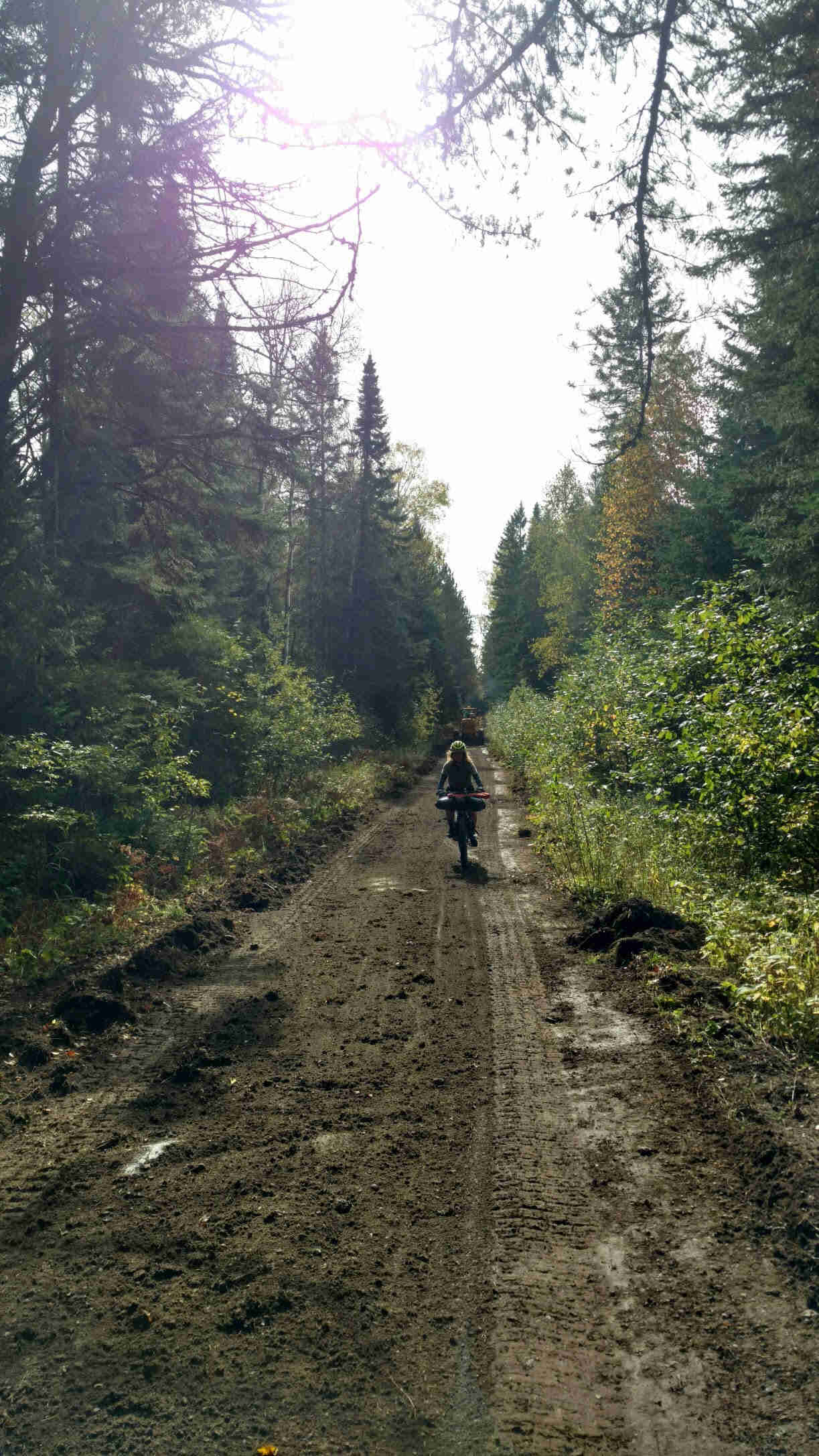
Flashes of Baja popped into my brain as I hit the first technical rock section. I had to remember to breathe. I am not an experienced mountain biker by a long shot. When I decided to do Baja, I had only gone mountain biking twice. I had decided to do that route purely out of a deep idolization of Lael Wilcox and my rabid impulsiveness.
That trip had led me to realize I am not a natural born mountain biker. I screech at the site of large rocks and rutted dirt roads. I hit the brakes when I get too scared. What kept me going in Baja was the real necessity of reaching the next water point, the support of my partner, along with the confidence that while I was nervous, my trusty Surly Troll was more than capable.
While I was thinking about this, I remembered how dang tough my Troll was, and I let out a weird manic laugh. I had this. My Troll definitely had this. I breathed deeply and loosened my arms. Here we go I thought and dove into it.
At the end of the dirt route, I caught up to Chad who was waiting for me. I noticed he looked a little nervous. I asked him what was up and he said, "that took us longer than I thought. It's about 4 pm". My jaw dropped — we left Sawbill at around 11 am. How had that taken us five hours?
Chad pulled out his map. We still had a considerable way to go before Devil's Track, and a whole other dirt section a few miles up. Nervously, we both knew we would just have to keep going. We repacked the map and rushed on.
After some smooth gravel, we hit the second dirt section. This time, likely due to the urgency we both felt to reach Devil's track before the sunset, this section had some of our best riding of the whole trip. We zipped through the dirt, stopping only to hike a bike over a flooded portion next to beaver dams, and to let a porcupine pass across the road. We ripped on to the gravel road after and climbed our way into Devil's Track Campground. Once we got there, I pulled out my phone and instantly started laughing.
"Chad!" I yelled. He looked over. "Your phone messed up. It's only 4 pm."
We camped that night on top of Pine Mountain, next to the radio tower. We'd decided to keep to our original plan of aiming for the free campground just 16 miles past Devil's Track after discovering we were still pretty on time. However, unable to figure out exactly where it was and with the sun now descending quickly, we had to scramble to find a place further up the mountain. Thankfully, Chad was fast thinking and had us peel off the main route to a doubletrack road leading up and away. At the top, we found flat ground surrounding the radio tower, exhaled a sigh of relief and set up our tents as fast as we could while the sun disappeared.
That night, we slept in a cloud.
The next morning, we tore down camp quickly, eager to get to Grand Marais and eat a big meal. The miles seemed to fly by, and as we descended down into Grand Marais, it was hard to not let out a scream as we whipped down (the first!) pavement descent to the water.
If you haven't been to Grand Marais, I highly recommend taking a trip. It's worth a visit. While we sadly missed our chance to try the World's Best Donuts, we did stop into the Fireweed Bike Coop and ate a delicious fish meal with a brew at Dockside Fish Market. After grabbing our last dinner supplies at the Co-op, we both looked at each other. Grand Marais was warm and comfortable and full of food, and we knew that it would be a cold night. We also knew that the incredible descent into the town meant that we'd have to climb our way back out. With a deep breath, we turned our bikes towards the climb and pedaled on.
That night, grumpy from all the climbing, we camped in an abandoned land plot a few miles further up from Pike Lake. We had known that this night was going to be a tougher to find a good campground, and we had compromised on this spot. Thankfully, Chad had had the idea to investigate it. It was a pretty good spot, hidden from the road and flat. However, I still felt a little weird about it, for one reason: there was a creepy hut.
I'm a highly superstitious person. I don't walk under ladders, I avoid stepping on cracks in the road, and when I can, I avoid camping next to weird locked creepy huts. But we needed a place to camp, and this was the best one, so I would need to deal with it. We quickly ate our food and retired to our tents, falling asleep fast in spite of the cold and earlier hour.
That next morning, we packed up as soon as the sun was up. It was still in the 40s, and frost was once again covering everything. We made some hot coffee and tea to try and warm ourselves from the inside out. We jumped on our bikes as soon as we could, eager to our get our bodies moving. I was thankful I had packed my leg warmers.
After we had warmed up a little bit and the sun came up, we took it pretty calmly. While we were excited to keep riding, we were also a little sad we were nearing the end of the route. We were already feeling nostalgic.
The last portion made an impact and stands out on its own. There's an awesome section of privately maintained double track that takes advantage of the beauty of the environment it’s in. It combines all of the swamp, dirt, forest, and climbs that makes the area so beautiful. It drops you out right by Lutsen and the Poplar River Waterfall (which we took the time to rest our bikes and hike to see. It was gorgeous). 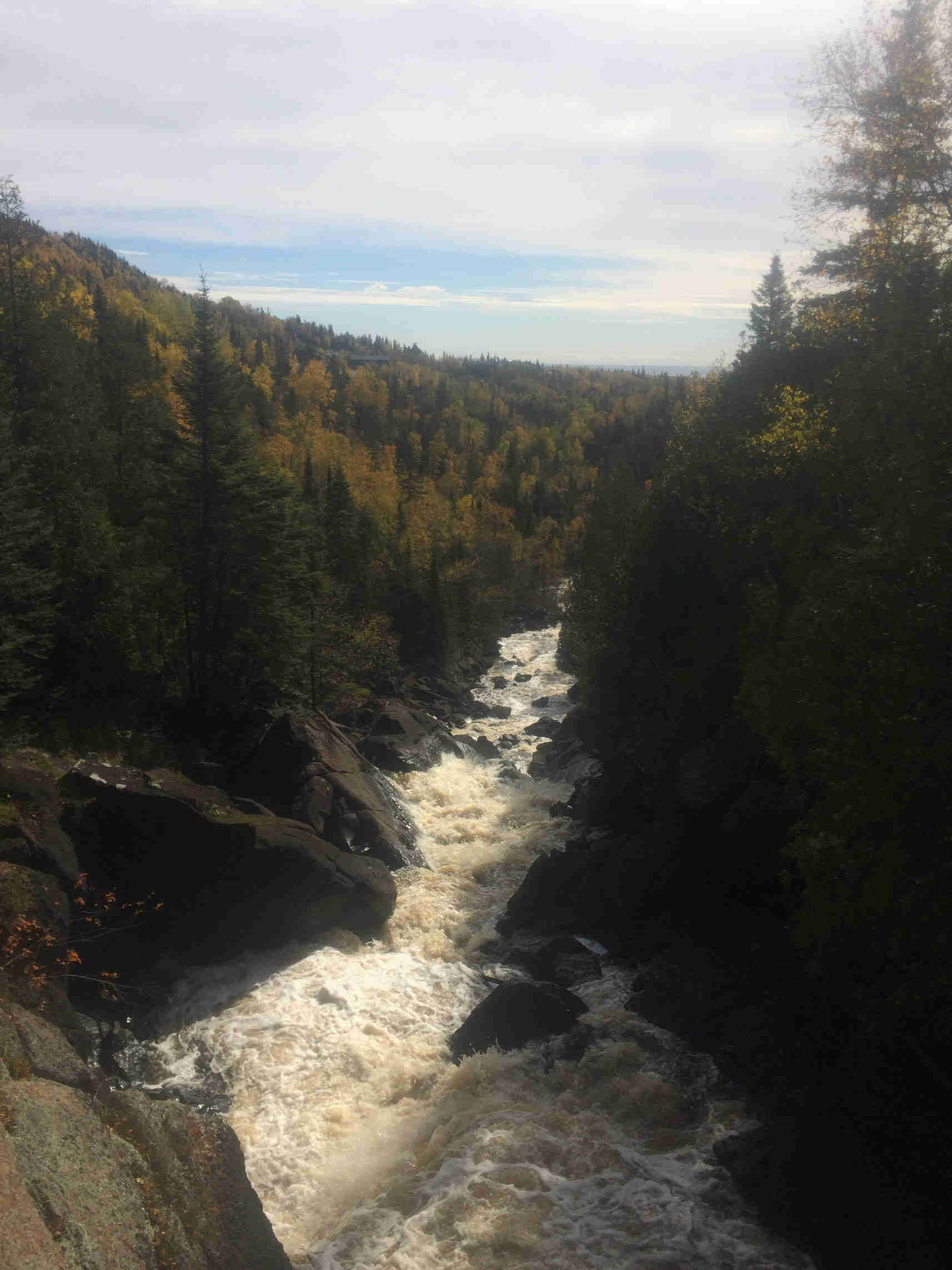
We pedaled on, saying goodbye to the dirt and gravel, knowing that we the Gitchi Gami trail was pavement.
As we rolled through Temperance River State Park, we said our second round of goodbyes, this time to the Superior National Forest and all of its goddamn breathtaking beauty. Once we turned and we saw Chad's car waiting, and we knew our mini vacation was over. Ending a trip is always a weird feeling. I was SO stoked to get home and shower and fall asleep and pet my cat. On the other hand, I also didn't ever want to leave the Superior National Forest and stop riding my sturdy Troll.
One of these days, I'll figure how to do both forever.
Our gear:
Me
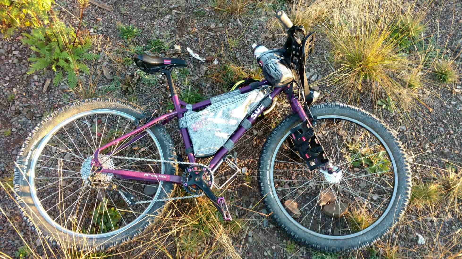
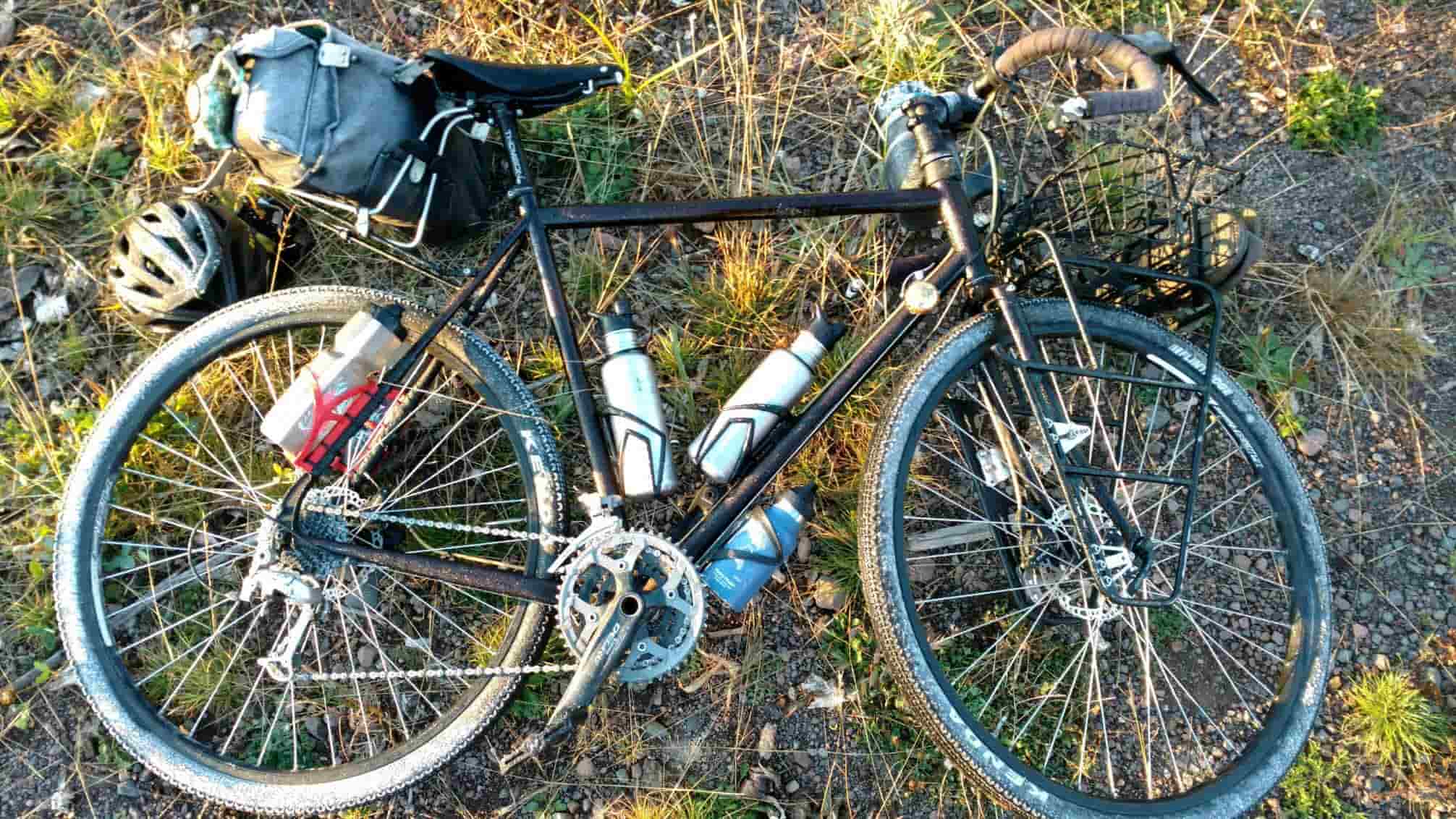
The Bike & Bags:
- Surly Troll with a Schmidt Dynamo and Luxos light set up.
- Revelate Surly frame bag
- Revelate Pika Seat Bag
- Salsa EXP Series Anything Cradle
- Revelate Feed Bags
- 2 Salsa Anything Cages
INSIDE THE BAGS (and on me):
- 3 pairs Merino wool socks
- Merino leg warmers
- Surly long sleeve jersey
- All-City Invisibility Cloak
- Endura Undershirt
- Sick Giro Hub logo DND gloves
- Cool Vans
- Dickies (forever)
- 2 Down quilts
- Thermalite Sleeping Pad
- A BUFF — so important my actual favorite piece of gear
- Multi-tool
- Sealant
- Tube, tire lever, spare brake pads and chainring bolts
- Mini soap bottle
- A nice borrowed REI tent
- Lots of snacks, primarily cheese.
- Ti spork
- Beanie
Chad (He made category lists because he's the organized one)
Clothes:
- Long sleeve woolie
- 2 wool t-shirts
- 4 wool socks (or so)
- Thermal legs
- Down Jacket
- Raincoat
- Prana shorts
- Cut off jorts
- 5.10 dirtbag
- Chaco
- Smartwool Buff
- Giro D'mool Gloves
- Camo Hat
- Beanie
Sleep:
- Big Agnes cooper spur
- Down sleeping bag
- Big Agnes Pad
- Sea2summit pillow
Cook:
- Ti Pot
- Cheap mug (this I mildly stole during the whole trip to eat out of - Elena)
- MSR Pocket Rocket 2
- Misc. Tea bags
- Aero Press & coffee grounds
- Spoon
Food:
- lots of snacks
- dehydrated soups
- ramen noodles
- Spike seasoning
- "more stuff than one person needs," Chad said, but I'd argue it was great because I forgot to pack real food.
The Route:
DO THIS ROUTE. It's beautiful, gorgeous, and the riding is smooth and easy and totally friendly to anything from a 35mm tire bike to a more rockin' tuff burly mountain touring bike. Just be comfortable hitting some rocks on the double track sections. Camping is (generally) easy to find so you can take your time looking at the trees and nature stuff.